Snowdon, UK

So in the quest to keep up my training for the upcoming trek in Transylvania to raise money for Mind, my travel blogging has been suffering a little. I’m finding that most weekends I’m out walking which leaves little time for writing and organising photos. Hopefully all should be back to normal after the trip and I’m sure that I’ll have lots of new experiences to share!

In the last couple of weeks I’ve been out to explore Upper Derwent in the UK Peak District a number of times (blog post to follow) and eventfully, I also climbed Snowdon.

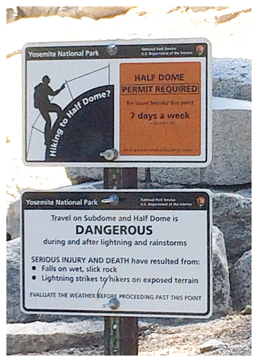
Snowdon is the highest mountain in England and Wales. It’s also a beast of a walk. I knew that I was in for a rough day when it took us longer than planned to get parked up. After a two hour drive, I was ready to get walking, but the busy parking situation meant that 45 minutes later we were still looking for somewhere to park. Once we’d left the car behind, we then had to battle the unhelpful and unfriendly shop workers to purchase a map of the routes up Snowdon. I get that tourists are a pain but if you sell maps, you have to expect that people are going to ask you for the maps, right?!

By the time that we hit the Llanberis path, I was not in the greatest of moods and that was about to get worse. The path itself isn’t too bad: clearly marked and fairly comfortable underfoot, however as the path started to level off, the weather took a turn for the worse and started to rain. Already fairly stroppy, I was highly unimpressed at getting soaked and took shelter in the cafe about half way up. Two ladies heading down in the opposite direction asked about the time to the bottom and their expressions reflected my feelings –  they had another hour and a half to descend and I had another two hours to climb up. None of us were happy!

Setting off again, my hood was pulled tight and I was cold and pretty soaked. To make it worse, as we crossed under the train bridge, a thick fog draped over the mountain and it was impossible to see more than a couple of feet ahead. Being quite honest, this completely panicked me. I am not great with heights or edges and the thought that there was a very steep and very narrow edge close by that I couldn’t see or locate was terrifying. I spent the rest of the assent in a state of panic, struggling to control my breathing and stopping every couple of minutes to try and calm myself down. Groups came and went and every time another group disappeared into the fog, I was convinced that we would either end up lost, wandering a mountain alone or falling off an unseen edge. Trying to gain some motivation, we asked a couple of people how far it was to the summit. A mixture of responses, including: “10 minutes“, “about 40 minutes” and “another hour, but it’s horrible up there” didn’t make me feel much better. At one point, we were seriously considering turning around and going back down. The thought of getting on the train to come back down the mountain was the only thing pushing me to the top. That and the thought of the pizza I was going to demolish when I arrived home.

Upon reaching the top, there was no celebration or taking of photos. For one, it was far too wet to risk taking out my phone to snap a shot or two and secondly, the photos would have showed fog and not much else. By that point, I just wanted to get somewhere warm and dry. I didn’t care that we had just scaled the highest mountain in England and Wales; I just wanted to go home. Heading to the visitor’s centre, hair plastered to the side of my face and dripping, I closely resembled a drowned rat.

Alas, the plan to return down the mountain via train was not to be. There were no spaces on the train (of course not; the weather was terrible, no one in their right mind would have chosen to walk over taking the train) and so, after spending far longer than necessary huddled over the hand dryer in the toilets, we set off on our descent.

As soon as we headed out in to the fog again, I could feel the panic trying to take hold. Then came my saviour. A guy in front of us, hiking with his two young children (who simultaneously made me feel ashamed for panicking and reassured that if they could do it, so could I) was talking about how many times he’d done Snowdon, his approach to the different routes and how to stay safe in the mountains. So we did what any logical people would do; we stuck close to him down the mountain, pretty much latching onto his group until we reached a lower point on the path. They didn’t know it, but that man and his children were my saviours that day!

In total, it took us about 5-6 hours to go up and down Snowdon, however we later worked out that it took us around 4 hours up and only an hour and a half to come back down: a sign of how desperate I was to get back to the car and the warm heaters!

Looking back, I’m glad I did it. Taking on the challenge in the bad weather has given me a chance to realise how quickly the weather can change in the mountains and how well prepared you need to be. It also gave me some practice with heights and edges, regardless of how much I wanted to be on lower ground. That being said, it wasn’t a walk that I enjoyed. So it’s one to add to the tick list, but I think that I’ll leave Snowdon to more enthusiastic walkers next time!


Mam Tor, Peak District UK

I’m still undergoing my hiking training in preparation for the trek in Transylvania to raise money for Mind. So in search of seeking out some good local places to walk, we set off for the Peak District, which is about an hour or so away from where we live.

Mam Tor was our destination; a rather large hill in Castleton. With an elevation of 515m, it was the perfect training ground for me.

We’d decided to take the circular route from Castleton as this would give us a total walking time of around four hours. Ignoring all sound advice from the lady in the visitor’s centre (because who wants to do things the easy way?!), we set off in the opposite direction, towards the steep climb out of a fairly dramatic looking valley. Walking up the side of the road towards Speedway cavern and Blue John Mine, the scenery was impressive, making me feel quite ‘hobbit-like’ due to the size and greenery of the hills surrounding us.

After a bit of creative navigation (we were following this brilliant guide but the signs aren’t great for the path), we found two routes up Mam Tor. We pot-lucked our way up the path to the right, eventually reaching what resembled a slight scramble up the hill to reach the main path. About half way up, I heard one woman remark to her walking partner “Oh I’m glad we are coming down this way rather than scrambling up, that route would have been awful“. Gee thanks lady. As you’ll have guessed, she was travelling in the opposite direction to us, making me wonder if I should have chosen the left path after all.

At the top of the scramble was a clearer path, steeply rising up the hillside. Given that we were fairly near the edge, my unhelpful feeling of ‘wobbliness’ started to surface. I’m not necessarily afraid of heights, but they do make me feel incredibly unstable. I fixed my eyes to the ground and just focused on putting one foot in front of the other. Before I knew it, we were at the top with an amazing view. We stayed for a while watching people paraglide whilst we had lunch.

A little side note: John West tuna lunch pots seem to have become my hiking lunch of choice. There is a gluten free / dairy free one and it’s easy to pack in a day sack. It’s either that or chocolate spread on gluten free bread – either way, I seem to have become stuck in a kind of lunch ‘dead-end’ – if other people have better hiking lunches – let me know!!!

At the top of Mam Tor was a trig point surrounded by little stone images of faces and huts – if anyone knows what their meanings are, I’d be interested to learn!

Looking over to the right, we could see the other path up the hill, which looked far easier and much less steep, but at least I’d had a good work out and pushed myself on a couple of ridge edges.

Once we were suitably fed, watered and recovered from the climb, we set off to the left along the marked stone path. This was much easier going and it became clear why the lady in the visitor’s centre has suggested to take this route. Coming up this path was a much gentler incline and would have much more clearly marked the route.

Passing Black Tor and Lose Hill Pike, we then started to cross a beautiful wooded area which was more stunning (to me at least) than the moors and fields. There is a pull I feel towards trees and woods that I just don’t experience in fields and out on the moors. It’s like an automatic ‘mood-boost’ and I feel much more connected to my surroundings.

Whilst the valley had been beautiful to drive through on the way to Mam Tor, it was the small tree lined area that stuck in my mind long after the walk.

Heading out of the trees and into the fields, our sense of direction failed us again as the path became unclear. A mother and daughter pair were also struggling with the route and we took it in turns to follow each other, sharing confused discussions on the same maps we were using.

Eventually, we crossed Spring House Farm and headed back towards Castleton. Next time, I’d look to extend the walk by heading to Hope first and then back to Castleton and maybe also taking some time to visit Peveril Castle, which looked intriguing, perched up high, keeping watch above the village.

Plitvice Lakes: Where else can you walk over a waterfall?

Standing on a narrow wooden walkway, inches above a fast-flowing roar of water, my heart was pounding. There were no barriers and no safety rails. A small hand rail ran round some sections of the walkway, but disappeared at various points around the trail.

This was Plitvice Lakes. A national park in Croatia, around 3 hours journey from the town of Split. Known for its lakes and waterfalls, it was a stunning sight, but my heart was in my mouth the entire time.

Visiting the whole park in a day is a tough challenge. As we were only in Croatia for a couple of days, we planned to see as much of the park as possible in a day trip. Taking a coach to the top part of the park, we hiked around the top lakes and waterfalls, followed by a bus ride down to the bottom end of the park for the final hike around the waterfalls.

Croatia makes travelling easy. The names of the lakes and waterfalls are exactly how you would expect them to be: the biggest waterfall? Welcome to the ‘Big Splash’. A slightly smaller waterfall? It’s obviously ‘the Little Splash’! Follow the names of the waterfalls and the park is really easy to navigate.

The hike to the first set of waterfalls was the most impressive; walkways that hovered over the tops of the pouring water, deep lakes and the sounds of the water hitting the rock below.

We visited in October (luckily we avoided the rain!) and the paths were much clearer than they are in the height of summer. I don’t want to even think about navigating those walkways on a crowded day. It would have been very easy to step off the planks into the water below.

The colours in the park were amazing: deep blue and vivid aqua waters, green vegetation, grey rock and orange and brown autumn leaves. Everywhere we looked there was photo perfect scenery.

The final photo of the day was from the top trail, looking out over the cliff side at the waters below.

I’d love to visit the park again, perhaps spending a day or two to wander round and really take in the sights. Have you been to the park? What was your favourite site?

Half Dome: Subdome

You can read part one and part two of our trip up half dome here:

Part one

Part two

The Sub-dome was in sight! After a gruelling but beautiful hike past Vernal Falls, Nevada Falls and through Little Yosemite Valley, we reached a sign to say that Half Dome was a mere 2 miles away.

By this point, I was done in. I was struggling to breath (asthma and altitude do not go hand in hand) my voice had gone almost completely and I was shattered. I also knew that we still had a roughly 4-5 hour hike back down to the valley. I am a very stubborn person and I refused to turn back until I made the Sub-dome. By this point, I’d accepted that there was no way I was going to make it to the top of Half Dome. Physically, I was too knackered to pull myself up those cables, and I’m not sure if I’d have been entirely ok with the height, but I was determined to meet my goal of reaching the Sub-dome.

After some challengingly steep switchbacks through the forest, we passed through the section of the trail where a permit was required and broke above the tree line.

Being that high up, and that close to the Sub-dome was incredible. Despite feeling broken, it was probably one of the biggest highs of my life!

The views were incredible. Snow-topped mountains in the distance, blue skies and harsh granite surrounded us from all angles. It felt like we were in the sky and Wandering Beeb was in his element, snapping pictures of anything and everything! We had achieved our goal and it felt amazing to have been successful at something so physical.

After spending some time taking in the views (and catching our breath), we decide to retrace our steps and head back down the trail. By the time we hit the bottom of the waterfalls, it was almost dark. Torches on, we continued to navigate our way down. There were few people left on the trail and as it got darker, we realised that we must have take a wrong turn somewhere. We could see the lights from the toilet block across the river but there was no way we could see of reaching them. The path had gotten narrower and we were both starting to feel panicky. Afterwards, we admitted to really understanding the dangers of the park at this point, given that we were in bear territory and unsure of where we were.

Trying to remain calm, we hiked back up the path, eventually realising that we had taken a hidden fork in the trail and had headed down a bridal path instead of the main trail. It was such a relief to find the right path and head down past the toilets and water fountains, knowing that we would soon by back in the Valley, surrounded by people rather than bears and mountain lions.

We eventually arrived back in the valley at about 10pm. We were hungry, knackered and sore, and still had a 45 minute drive back to Wawona to our tent. It didn’t matter. We’d reached the Sub-dome, we’d pushed ourselves to the limit and we’d almost touched the sky.

Wash your spirit clean

– John Muir